
The Hampton Roads Airspace Problem
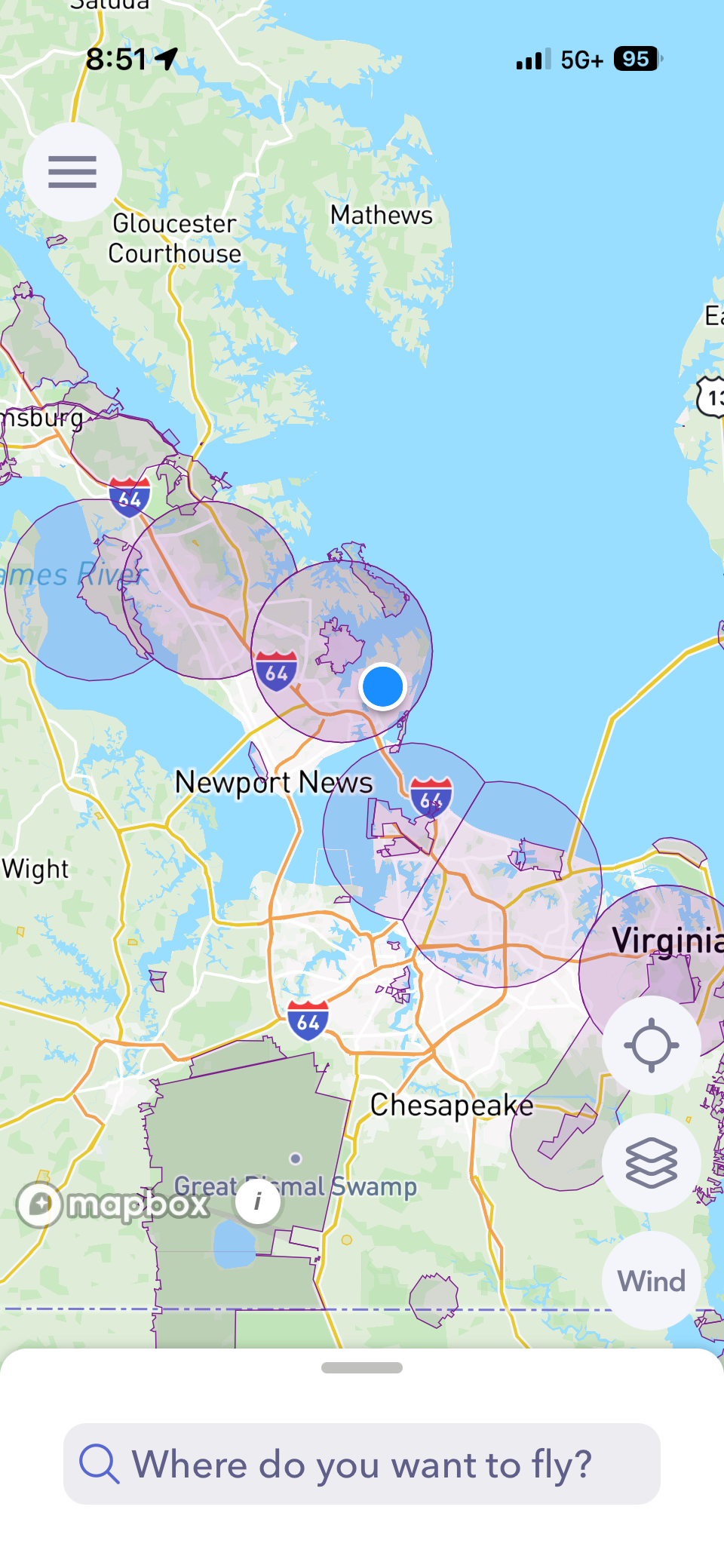
So I passed my Part 107 a while back and I have been slowly putting together everything I need to start doing this commercially. Gear, insurance, LLC paperwork... the whole thing. And I thought I had a pretty good handle on what I was getting into until the day I actually pulled up Hampton Roads on an airspace map.
I am not going to lie. It stopped me cold.
Most places you look at have maybe one airport to work around. Hampton Roads has Langley AFB sitting directly on top of the city of Hampton, Newport News/Williamsburg International to the west, and Norfolk International to the east. We are basically surrounded. A huge chunk of this area is Class D or restricted airspace and if you want to fly commercially in it you need something called LAANC authorization before you even think about taking off.
For anyone in the same boat I was... LAANC is basically a digital permit system the FAA set up for drone pilots. They divided controlled airspace into a grid of cells and assigned each one a maximum altitude ceiling. You apply through an app like Autopylot, get an instant approval or denial, and you're legal to fly within those limits. Sounds straightforward enough. But here is the thing I did not expect — a lot of those ceilings around here are not the 400 feet you read about in every Part 107 study guide. A lot of them are 0 to 50 feet. Fifty. You can barely clear a two-story roofline at 50 feet.
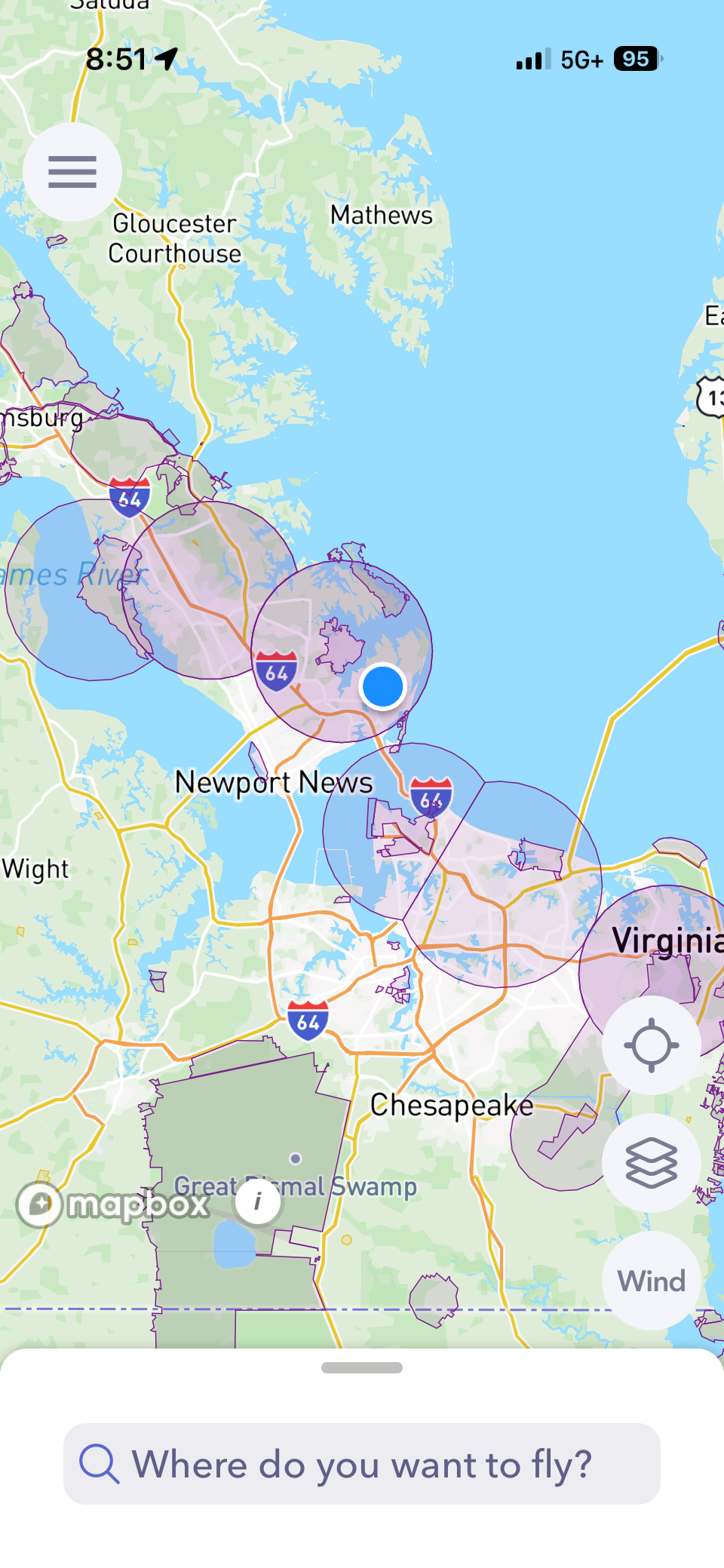
SO I spent a good chunk of an afternoon just going address by address through neighborhoods I was planning to target for real estate work and checking what I was actually authorized to do. Some of them were fine. Others were basically unflyable for the kind of shots agents actually want. There is a waiver process to request a higher ceiling but that is not a same-day thing and it is not something you can figure out when you are already parked in front of a listing.
What I took away from all of this is that the airspace check has to happen before you quote the job. Not the day of, not when you are confirming the appointment — before you even tell someone what it's going to cost. Because if you cannot legally fly high enough to get a useful shot, that changes the whole conversation. I use Autopylot to check the grid and I also run a quick look on SkyVector for any TFRs. Takes maybe five minutes and it has already saved me from what would have been a pretty awkward situation.
I am still very much in the learning phase with all of this and I am sure I will keep finding new wrinkles as I get more jobs under my belt. But the airspace thing felt worth writing about because I genuinely did not expect it to be this complicated here. If you are a Part 107 pilot in Hampton Roads and you have not done this exercise yet... go pull up your market on Autopylot. Just be ready for it.

Comments ()